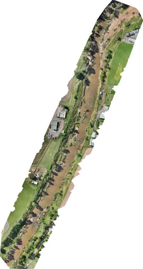
Drone images have been used to conduct inspections on council buildings, facilities in parks and gardens, to monitor wildlife populations in parks and to evaluate the potential for turf and event management. The use of Skyspec drones will allow councils to assess if their public spaces will need pest or weed control in addition to regular maintenance work.
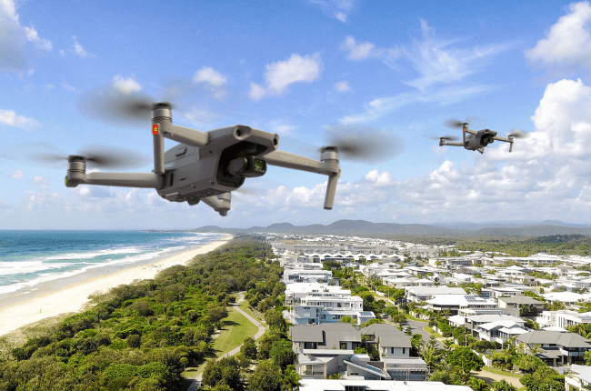
Councils operating in regional or remote locations are often challenged with managing assets in places that may be difficult or dangerous to reach. At other times, these areas could be difficult to access such as the rooftop of building structures where machinery is situated. Instead of scaffolding and manually inspecting equipment on tall buildings, images from drones can provide technicians with valuable viewpoints and details about critical assets without having to physically attend to a site.
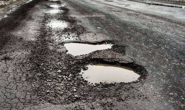
Expanding the lifecycle of facilities and infrastructure requires monitoring performance and conducting preventative maintenance of each council asset. This is particularly important for critical infrastructure that cannot fall over such as security systems, drainage systems or public roads.
With drones, the ability to deliver high-resolution imagery helps maintenance crews determine where to focus their attention and resources. Going beyond photographic images, drone technology can even supply infrared and x-ray images to detect structural issues or dangerous leaks in an environment that may be potentially unsafe for humans.