The Hunter Valley is a centre for viticulture, mining and agriculture. Skyspec drone Services can elevate Hunter Valley businesses through a range of services.
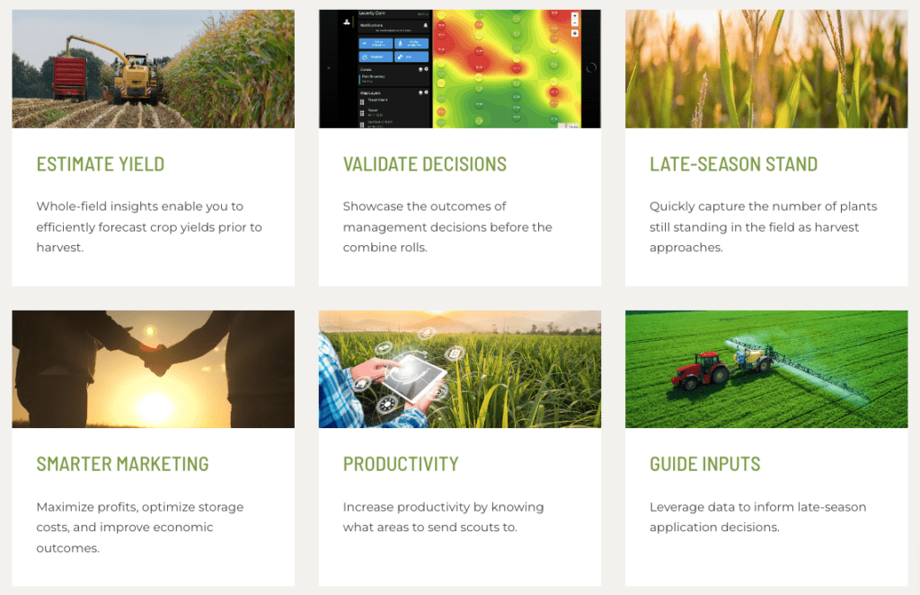
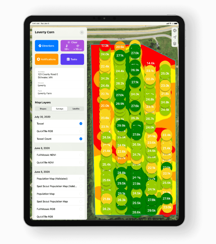
Viticulture and Agriculture – NDVI and NDRE zone analysis, population analysis, tassel count, weed mapping, and elevation and 3D mapping, bare soil mapping for salinity, pH and nutrient correlations
Infrastructure – inspections and mapping. Home and commercial roof inspections. Cell tower and broadcast tower inspections and digital twins/3d modelling. Thermal imaging coming soon.
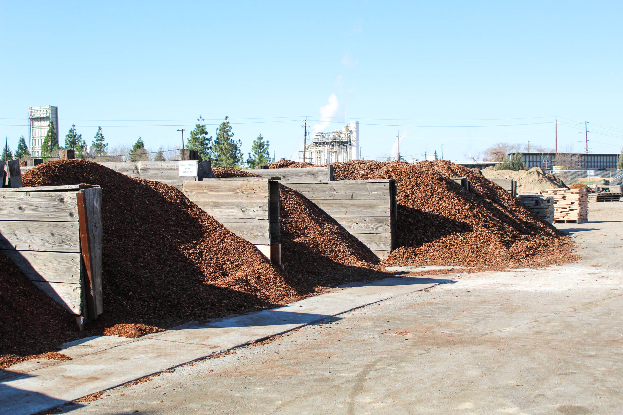
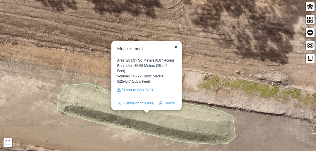
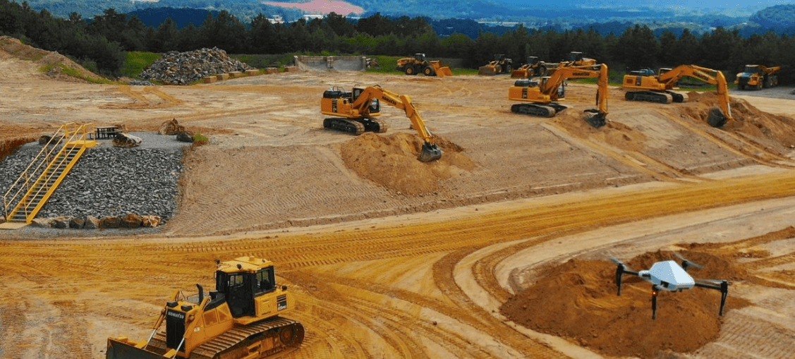
Mining and Quarry and Civil Drone Services – haul road management, cut and fill estimations, stockpile estimations.
Golf course and Turf farm – mapping (for precision fungicide delivery)
and much more.
Infrastructure – inspections and mapping.
Solar farm Inspections
Wind farm Inspections
Roof Inspection
Volumetric Surveys- Mining, Quarrying
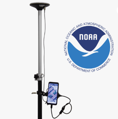
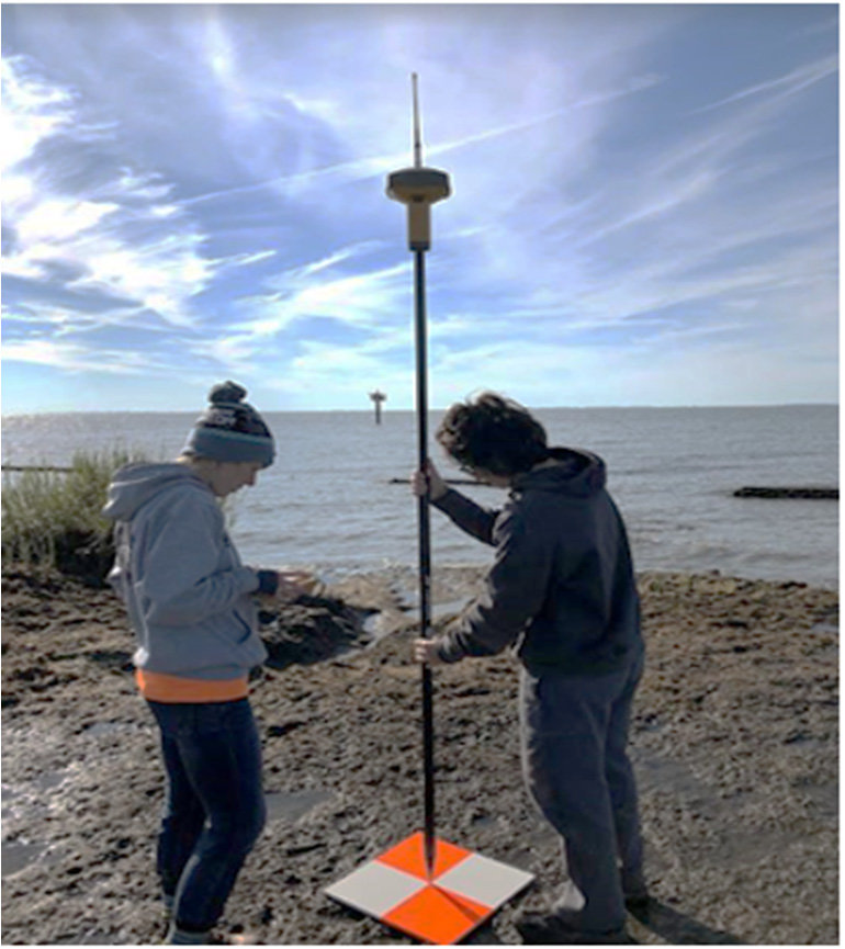
If you need highly accurate drone surveys, mapping or volumetric, our team can do the job utilising ground control points, RTK/GNSS and NTRIP to deliver cm level accuracy.

Agriculture
With extensive experience in agriculture, our team can provide the services you need to ensure your crop health and farm data needs are met. NDVI and NDRE zone analysis, population analysis, tassel count, weed mapping, and elevation and 3D mapping, bare soil mapping for salinity, pH and nutrient correlations
We’re always pleased to provide you with a quote but bear in mind that before we accept any job and sometimes before we can provide an appropriate quote, we may need to ask you some questions. There are many regulations that apply to the operation of RPAS (remotely piloted aircraft systems). we’re required by CASA to ensure that we at all times operate in a manner that is safe and legal.