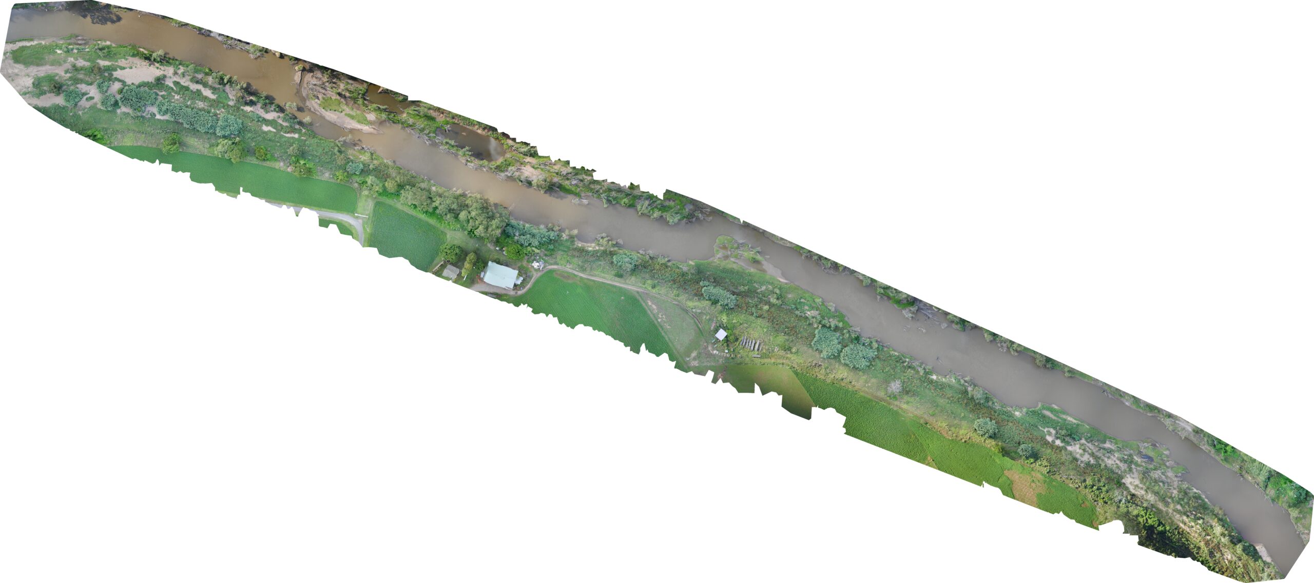
This is just the beginning of this particular project for this client. We present it here to show our corridor mapping capabilities.
We utilised an eBee fixed wing drone fitted with SODA camera and corridor mapping integration kit.
The eBee is incredibly efficient at this especially in corridor mapping configuration.
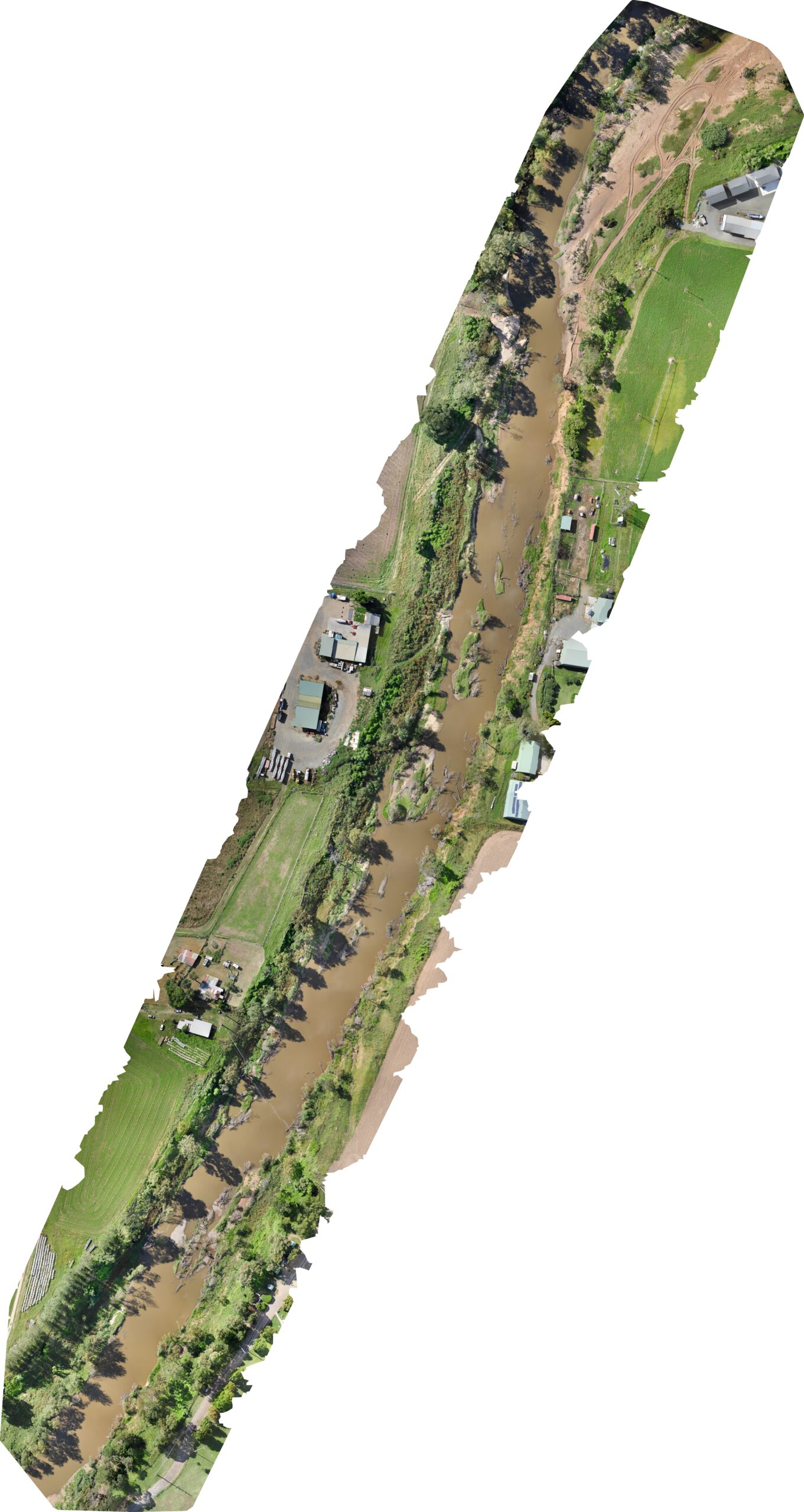
eBee Drone Corridor Mapping Example
Here is another example of corridor mapping performed by the eBee. Note the kilometres and time taken to fly it. Very efficient.
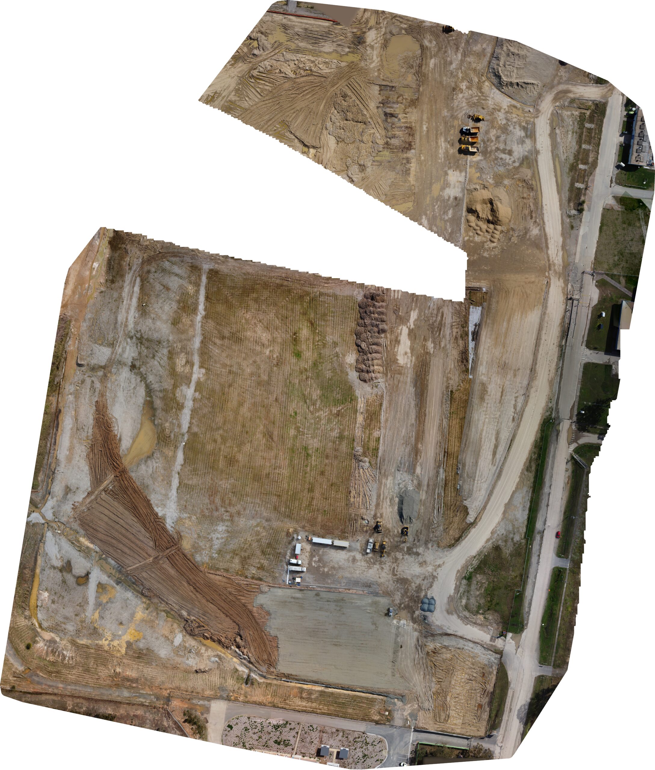
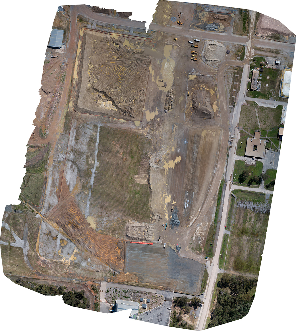
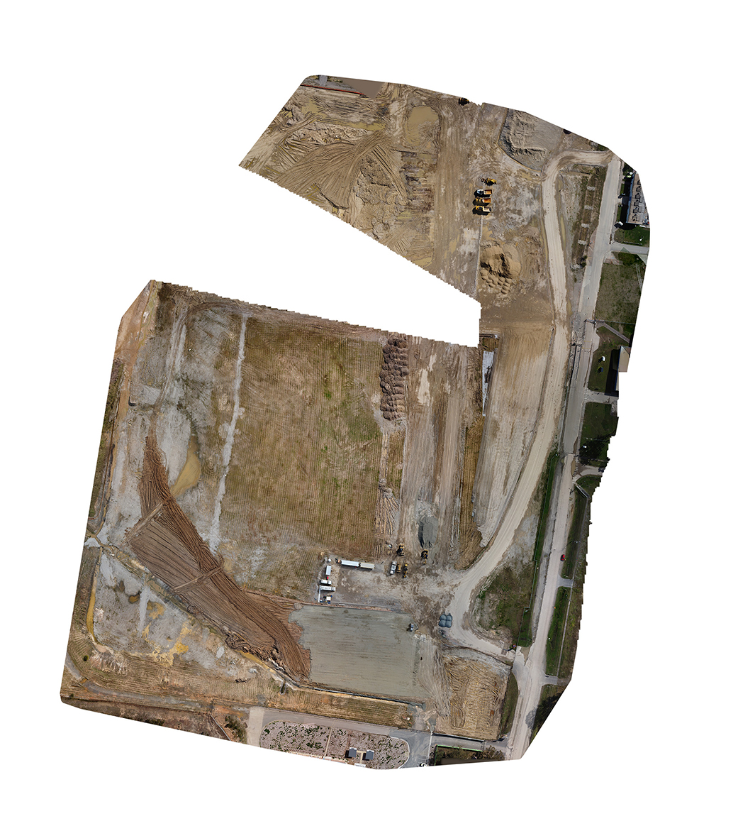
We’ve not been mapping this area long enough to provide before and after orthomosaics, but we have provided those for many other projects. below is an example of how they can be presented. The below are only partial surveys intended only for demonstration.