Introduction We’d love to meet to discuss the potential to assist the Hunter Power Project with our drone services. Our services can assist with project monitoring, stakeholder engagement and project planning among other things. This introductory video will explain some of what we’d like to assist with. We provide a project page like this for each of our clients, featuring not an introduction like this, but updates on the project, including time-lapse videos, 2d and 3d models, file access via dropbox, shapefiles, photographs, videos, orthomosaics and any other deliverables that you may require, that we can deliver. If you experience video playback issues, you can easily download the videos to your local drive from the files section at the bottom of the page
Let me explain
Below is a typical time-lapse video such as we would provide our clients following each visit.
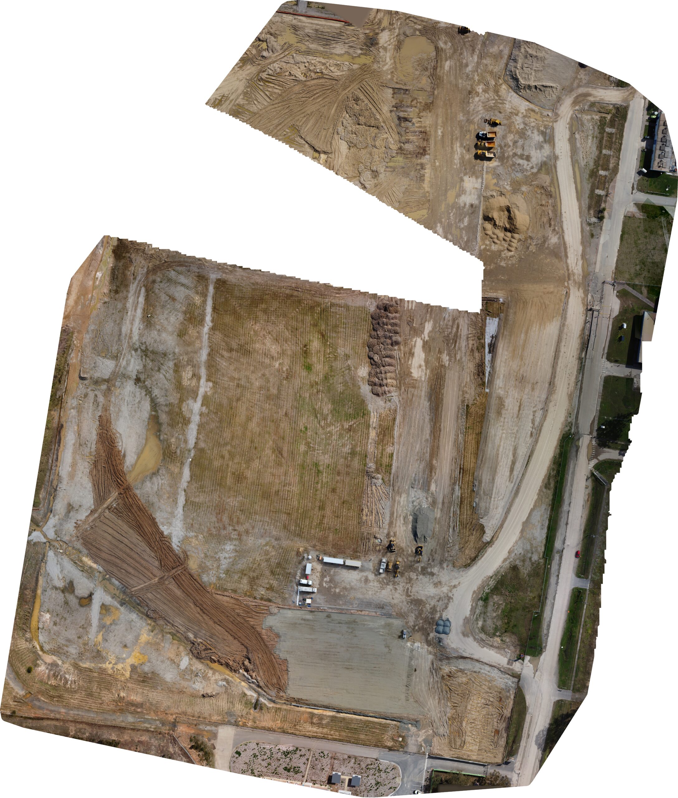
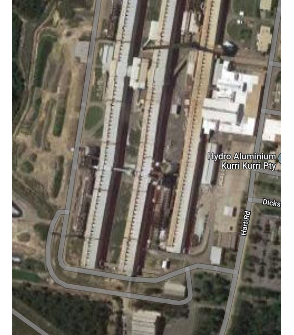
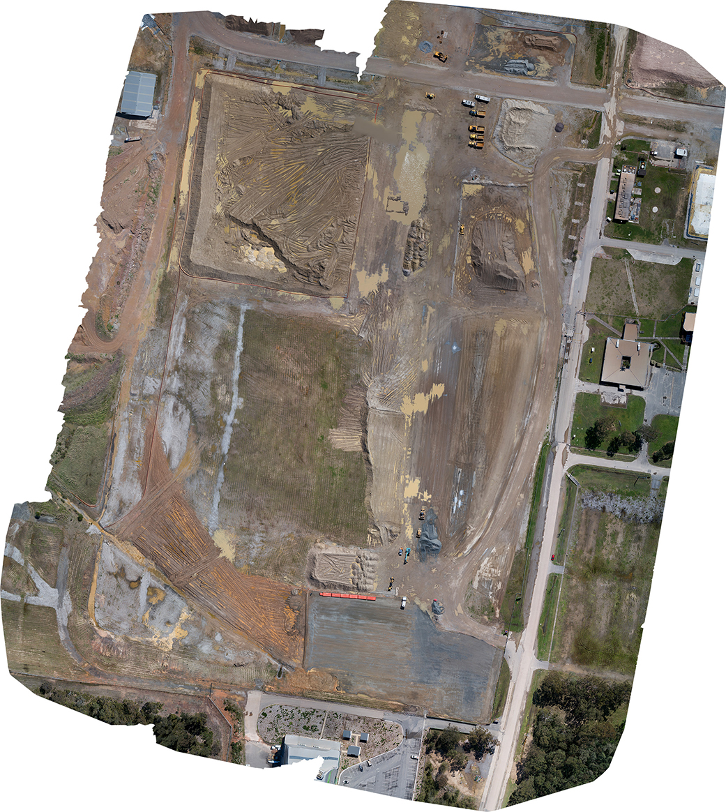
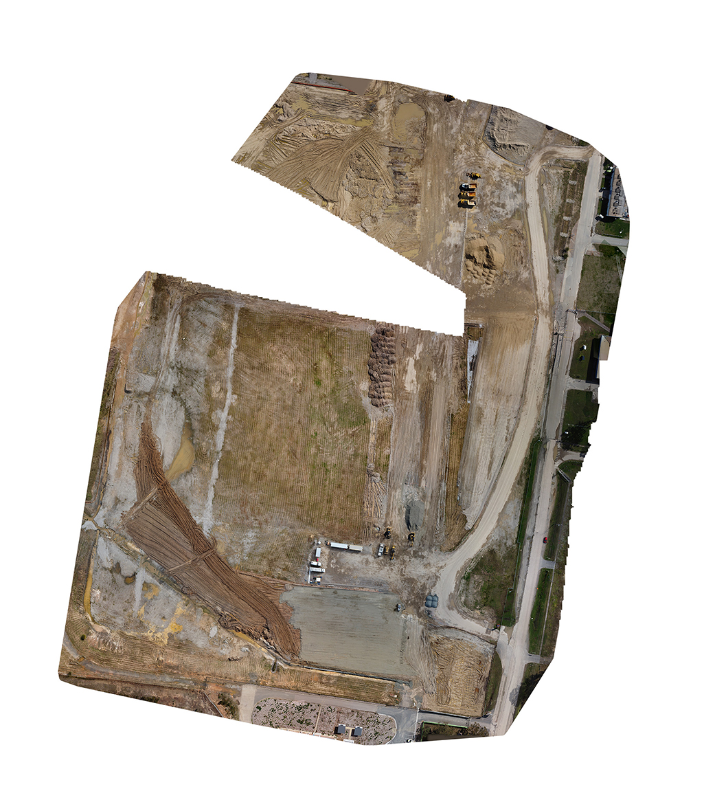
Below is the way that we would typically present before and after orthomosaics. Typically the before image would be the image captured on the previous visit, and the after image would be the image captured on the last visit. So a visit in October would have an image for September and an image for October. We also have the ability to provide a continuous timeline across the life of the project. Orthomosaics at higher resolution are made available in the files section. These would be georeferenced and if required, would be centimeter level accuracy. In this instance, the Day 0 image is a screen capture off Google Maps. We hope this page gives you an understanding of how these resources can be useful to such a project. Our clients tell us that these resources not only assist with project planning and monitoring but are very useful where stakeholders are geographically dispersed.
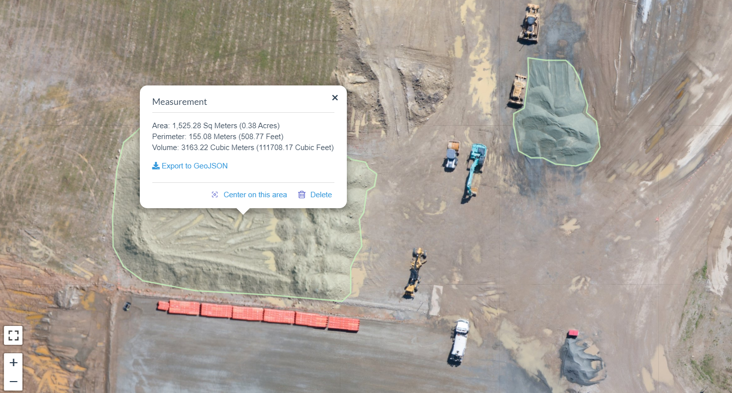
Orthomosaics that are georeferenced, provide a record of project progress that is useful for stakeholder engagement, and provide an opportunity to measure project progression against plans, provide a resource that can assist planning., provide information useful to safety and environmental monitoring and provide location information for services that may later be buried or invisible. In addition to the visual, drone surveys provide accurate x,y and z coordinates that can be used not only for location information but for volumetric estimates of stockpiles, and cut and fill calculations
LGAs, funders and others will be impressed with your record of progress and the ability to share that progress. Auditors for safety and environmental matters will be impressed with your visual record keeping.
The below are only partial surveys intended only for demonstration.