At Skyspec Drone Services, we deliver cutting-edge survey-grade mapping with centimeter-level precision, tailored for professionals in construction, mining, environmental planning, and agriculture. Our drones, powered by RTK and PPK GPS systems, deliver survey grade results, saving time without sacrificing accuracy.
Our Fleet
Super High Efficiency Fixed Wing Drones
Our fixed wing drones are capable of mapping at up to 200 Ha per hour. They are ideal for broad acre agriculture and environmental work.
They are equpiped with visual, thermal and multispectral sensors.
Rotorcraft Drones
Our range of rotor wing drones are ideal for precision mapping at sites where landing and takeoff options are too limited for fixed wing drones.
They are equipped with visual and thermal sensors.
Fully Autonomous AI Driven rotorcraft
For complex 3D modelling or where you require access to tight spaces, our fully autonomous AI drone is the ideal solution
Drone Services for Agriculture
Drones provide precise, real-time data that helps farmers optimise resources and increase productivity rippercorp.com. Beyond detailed mapping, a range of aerial services can save time and boost yields across broadacre crops, orchards, vineyards and grazing farms.
Crop Health Monitoring
High-resolution cameras and multispectral sensors create detailed crop health maps. Drones scan whole paddocks quickly, identifying stress from pests, diseases or water shortages that are invisible from the ground. Early detection of problem zones lets farmers target intervention before losses occur – saving inputs and protecting yield. For example, NDVI and other vegetation-index maps highlight weak areas so growers can fix irrigation or nutrient issues in time. This data-driven scouting leads to smarter fertiliser and pest management, giving more yield for every hectare.
Pasture and Forage Assessment
On livestock farms, drones assess pasture quality and biomass via multispectral imaging. High-resolution aerial surveys measure pasture health by analysing vegetation indices (e.g. NDVI). These maps show feed quantity and quality across paddocks, guiding stocking decisions and grazing rotations. With regular drone checks, farmers know exactly where grass is thick or sparse – allowing them to move stock for even grazing or adjust supplementary feeding. Better pasture insight means healthier animals and more efficient use of land, boosting profitability on grazing properties.
Irrigation and Soil Moisture Analysis
Drone surveys of soil and terrain pinpoint irrigation needs precisely. By flying over fields with thermal or multispectral cameras, Skyspec can generate 3D moisture maps and topography models. This reveals dry patches, drainage problems or water leaks that might be missed by ground checks. Farmers then apply water only where it’s needed, saving water and cutting power costs. In practice, drone-derived moisture data guides irrigation timing and layout, ensuring even crop growth and preventing drought stress. In short, drone soil analysis helps Aussie growers irrigate smarter and save resources
Weed and Pest Monitoring
Drones provide an aerial eye for weeds and pests without chemicals. High-res RGB and thermal imagery can detect invasive weed patches or pest animals early on. For example, thermal drones can spot feral pigs, rabbits or foxes hiding in cover, and NDVI maps can flag dense weed outbreaks among crops. By mapping exactly where problems are, farmers can target ground crews or bait stations only in affected zones. This not only cuts herbicide and baiting costs but also protects surrounding crops and ecosystem. Regular drone patrols keep infestations contained and fields cleaner for higher yields.
Livestock Monitoring and Management
Drones dramatically cut the time to mustering and stock checks. With live video and infrared sensors, a drone can locate and count grazing cattle or sheep over many hectares in minutes. Farmers use this to find stragglers or injured animals (even at night with thermal cameras) and to audit herd size without hours of manual mustering. Drone footage also helps optimise grazing by showing where stock are congregating, and identifies dry-trough locations or shaded areas. In all, aerial herd surveys improve stock safety and save labour – ensuring no animal is overlooked and grazing is managed efficiently
Farm Infrastructure Inspection
Routine inspection of farm assets is faster and safer from the air. Drones can inspect fences, water pipelines, pumps, silos, sheds and solar arrays in minutes. High-magnification cameras reveal broken fence wires, leaking troughs or damaged roof sheeting without anyone having to climb or drive. Early spotting of wear and tear allows pre-emptive maintenance, avoiding costly breakdowns or crop losses (for example, fixing a burst irrigation pipe before it drowns plants). By replacing slow manual checks with quick aerial scans, Skyspec helps farmers keep infrastructure in top shape with minimal fuss
Yield Estimation and Reporting
Using drone data, farmers can forecast their harvest months in advance. Detailed imagery allows Skyspec to count plants, measure canopy size or fruit cover and convert that into precise yield estimates. Growers receive maps highlighting high-yield and low-yield zones, updated as the crop matures. Armed with this information, farmers can optimise grain or harvest planning – for example allocating labour and truck resources to heavy-producing paddocks. Accurate yield forecasts help set budgets, storage and marketing strategies, ultimately maximising the bottom line.
Each of these services can be delivered using Skyspec’s existing drone fleet (multispectral cameras, thermal sensors, GPS, etc.) and add significant value for a wide range of Australian farms. By advertising these benefits – better yields, lower costs and faster inspections – Skyspec will appeal directly to farmer priorities and demonstrate clear ROI on drone technology.
Sources: Industry analyses and case studies confirm drones excel at crop and pasture monitoring, livestock tracking, soil and infrastructure survey, and yield analytics making these smart additions to any modern farm.
Why Choose Skyspec?
- Survey-Grade Accuracy – cm precision with RTK drones
- Fast Turnarounds – Mapping in hours, not days
- Drone Mapping Experts – Experienced in all terrains
- Fully Compatible Data – Works with CAD, GIS, AgTech, John Deer etc
Deliverables You Can Request
- Orthomosaic Maps (.GeoTIFF, JPG)
- Digital Elevation Models (DEM, DSM)
- 3D Point Clouds (.las, .laz)
- Contour Maps (DXF, SHP)
- Volume Reports & Cut/Fill Analysis
Servicing NSW, QLD & Beyond
Based in Bridgman, NSW, we’re ready to deploy across New South Wales and Queensland. Whether you’re mapping 5 hectares or 5,000, Skyspec brings clarity from above.
Ready for Better Farming?
Let’s transform the way you see your land. Click below to request a quote or schedule a free consultation.
Request a Quote
High-Precision Weed Mapping Technologies
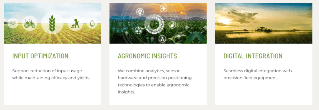
Utilising our drone based High Precision Weed Mapping Technology enables agronomic professionals to reduce inputs while maintaining efficacy and yields.
Our precision weed mapping capability provides you with greater insights into weed pressure, delivers the ability to monitor where weed pressure exists, and ensures targeted zone application, all while reducing the total cost of inputs.

UAVs are ideal to identify weed patches. The main advantages of UAVs compared to UTVs are the shorter monitoring/surveying time they require and optimal control in the presence of obstacles, which is critical when working between crop rows. In a few minutes, UAVs can cover many hectares flying over the field, thus providing the photographic material for weed patches identification.
Drone and sensor technology for sustainable weed management: a review. https://chembioagro.springeropen.com/articles/10.1186/s40538-021-00217-8

Invasive Species in the Landscape (Natural Resource Management/Landcare)
At present, we’re developing technology to identify invasive species in the landscape, by machine learning, through drone imagery. Species such as Lantana sp., have been successfully identified in this way in other parts of the world.
Our drones are more typically used for mapping of invasive species through visual checking of photographs and 3d maps by humans. We’re happy to provide that service, while we continue our developments with identification via machine learning. So if you have any jobs that you think may be a good fit, We’d like to help, while we’re experimenting.
We’re always pleased to provide you with a quote but bear in mind that before we accept any job and sometimes before we can provide an appropriate quote, we may need to ask you some questions. There are many regulations that apply to the operation of RPAS (remotely piloted aircraft systems). we’re required by CASA to ensure that we at all times operate in a manner that is safe and legal.
