Smarter Scouting
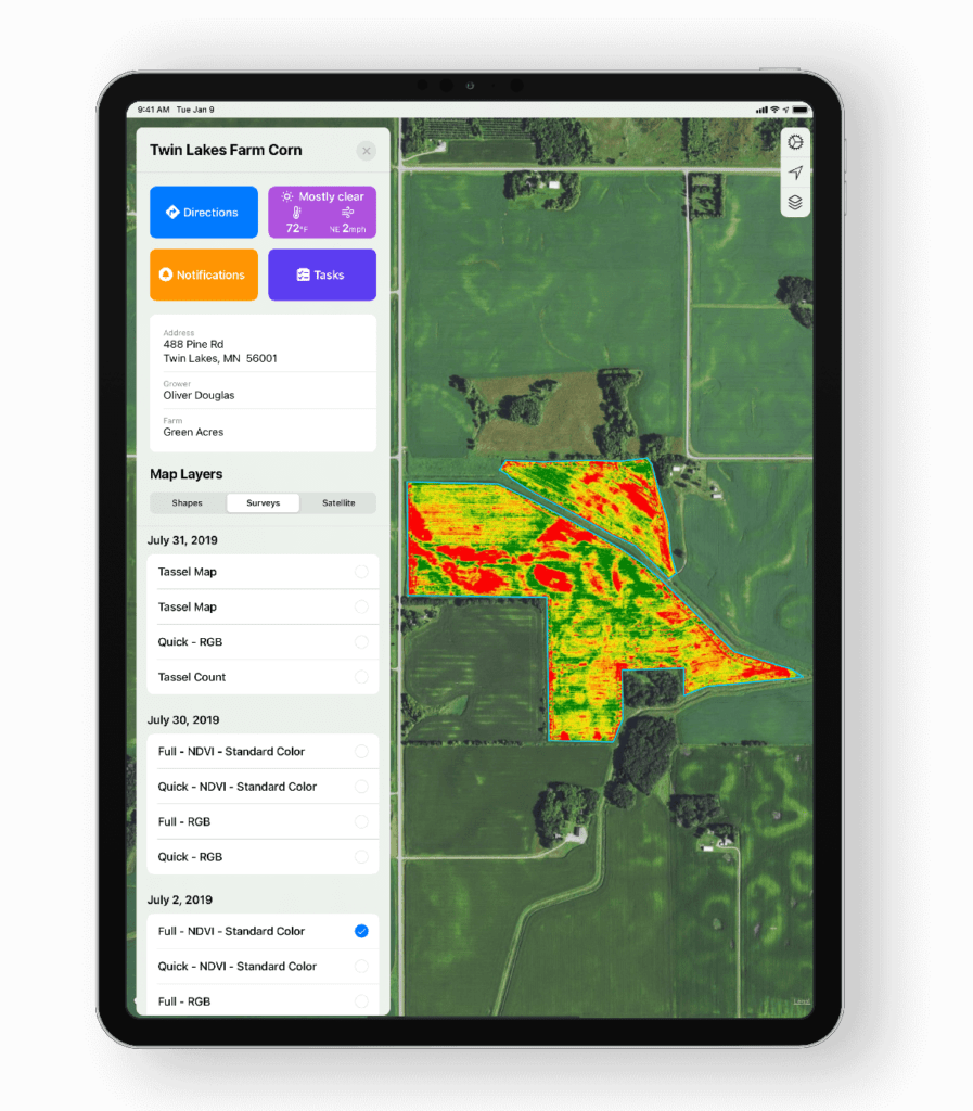
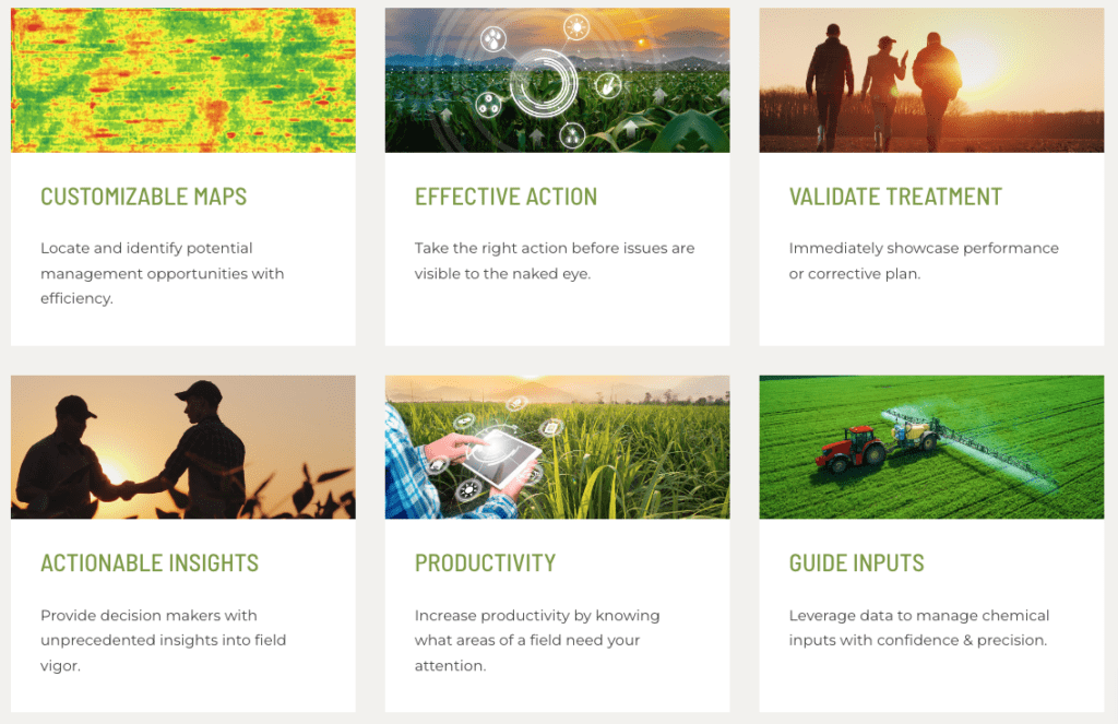
Crop Health Maps provide unprecedented insights into field vigor through customisable NDVI maps, zone management, a basic prescription writing tool, and dynamic colour mapping. These tools allow you to quickly pinpoint and manage potential stressors caused by the presence of disease or weather damage.


Drone speeds up wheat selection.
https://www.abc.net.au/news/rural/2014-05-10/wheat-drone-technology/5437242
New aerial drone technology could change the landscape of Australia’s billion-dollar wheat industry by delivering cost-effective mechanisms for farmers to plan and deliver precise water and nutrients to their crops on a need-by-need basis. https://www.unisa.edu.au/Media-Centre/Releases/2018/Smart-drones-and-deep-learning-deliver-low-cost-precision-agriculture-for-Aussie-farmers/
We’re always pleased to provide you with a quote but bear in mind that before we accept any job and sometimes before we can provide an appropriate quote, we may need to ask you some questions. There are many regulations that apply to the operation of RPAS (remotely piloted aircraft systems). we’re required by CASA to ensure that we at all times operate in a manner that is safe and legal.
